€380
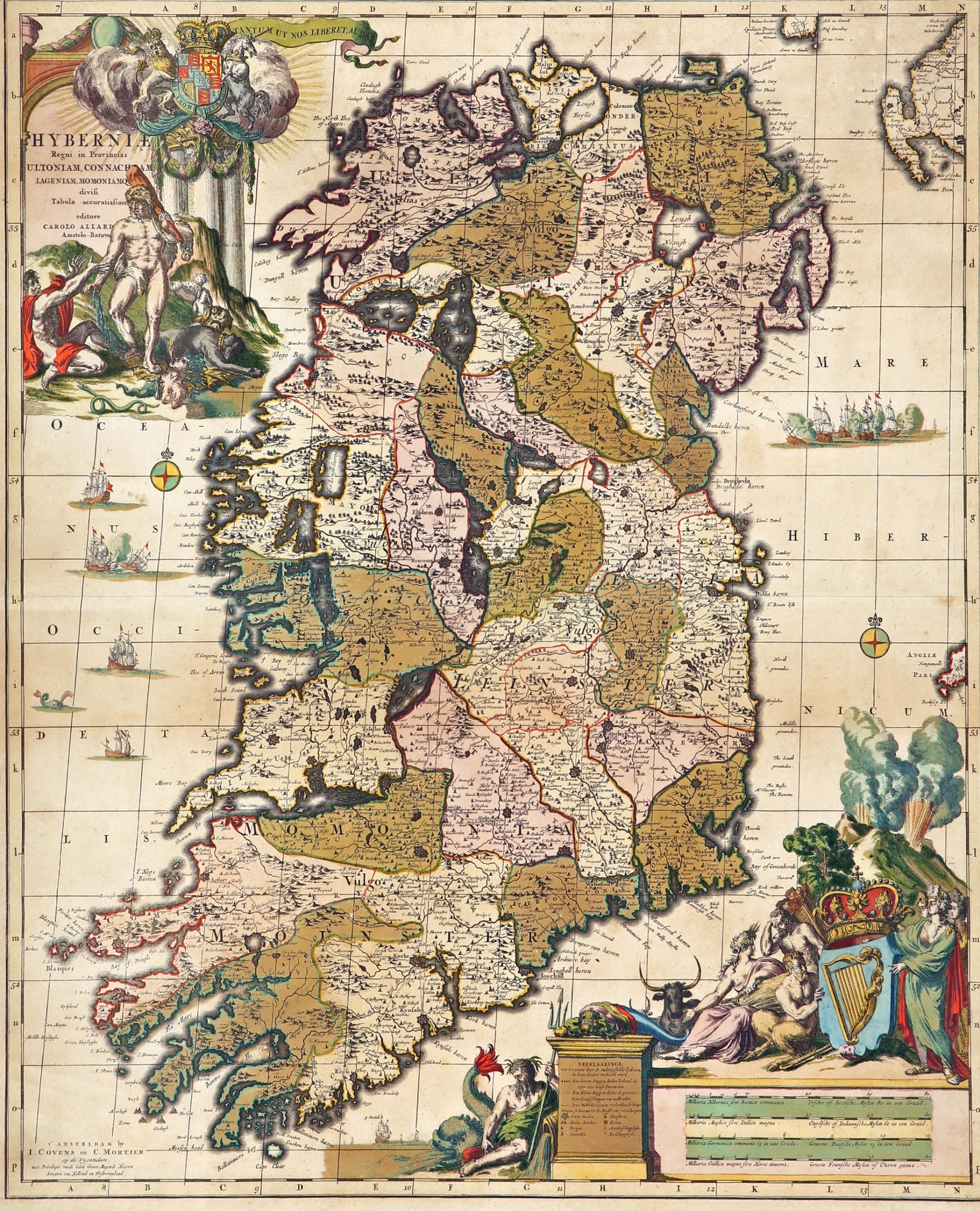
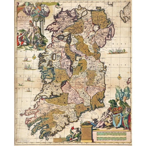
1733 Map of Ireland by Carolus Allard, a hand-coloured engraved map, Hyberniae Regni in Provincias Ultoniam Connacham, Lageniam, Momoniama divisi Tebula Accuratissima, the plate 23½" x 19½" (60 x 44.5cm) Framed.
Fees apply to the hammer price:
Room and Absentee Bids:
24.60% inc VAT*
Online and Autobids:
28.29% inc VAT*